Marine Planning for people and nature
Each month, an expert from the Marine Institute shines a light on their area of work, sharing insights on our ocean knowledge. As the national agency responsible for supporting the sustainable development of our marine resources, the Marine Institute delivers scientific knowledge, expert advice and services to government, industry and a wide range of stakeholders.
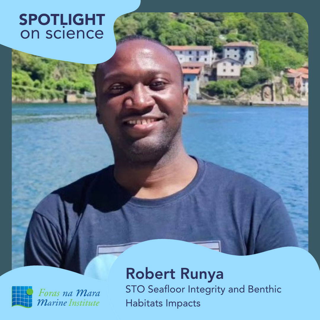
This month, Dr Robert Runya, Marine Scientist with the Institute, outlines his work on the MarinePlan research project, which brought together 18 international partners to advance Ecosystem-Based Marine Spatial Planning across European seas.
Why does Marine Spatial Planning matter?
Ireland’s seas are busy and getting busier. Fishing, aquaculture, shipping, offshore renewable energy, recreation, conservation, all share the same waters, and the pressure on that space is growing. Managing these competing demands fairly and effectively requires clear, evidence-based planning.
Marine Spatial Planning (MSP) is essentially a governance system for the sea. It maps where different activities take place, identifies future opportunities, and flags where environmental sensitivities need careful consideration. Ireland's National Maritime Planning Framework (NMPF) is a practical expression of this approach, designed to support climate action, biodiversity protection, sustainable fisheries and offshore energy development together, rather than in isolation.
However, MSP can only help realise the full potential of Ireland’s Blue Economy if decisions about space allocation are based on sound scientific evidence. This is where the Marine Institute comes in, providing the data, analysis and expert advice needed to support informed decision-making.
Going further: Putting nature first
One important development in this field is Ecosystem-Based MSP, which places the health of the sea at the centre of every planning decision. Rather than treating the ocean purely as a space to be divided up, it recognises the sea as a living system of habitats, species, food webs and human livelihoods, where development must not come at the cost of long-term ecological health.
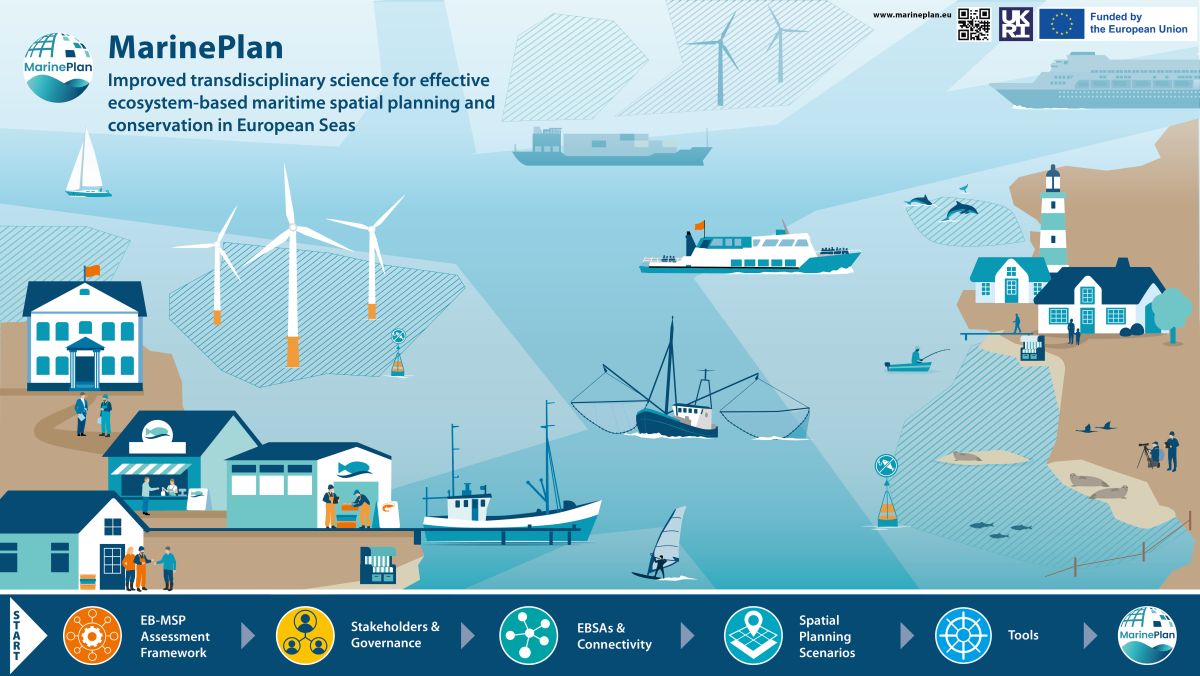
The Horizon Europe-funded MarinePlan project, which ran from 2022 to 2025, was designed to put this approach into practice, responding to the real and pressing commitments of delivering 5GW of electricity generation from offshore renewable energy, protecting biodiversity under the global 30x30 target, and ensuring sustainable fisheries and food security.
The Celtic Sea: Complex and crucial
Ireland's MarinePlan case study focused on the Celtic Sea, off the south coast, which is one of the country's most biologically rich and economically important stretches of water. The same waters support major fisheries, shipping, aquaculture, and are now a priority area for offshore renewable energy development. However, less than 3% of the Celtic Sea currently falls under spatial protection, leaving Ireland well behind on its commitments to protect biodiversity.
The Marine Institute team set out to answer a challenging question: Can we identify suitable areas for marine protection and offshore renewable energy development while minimising the impact on fishing communities?
Using fisheries surveys, vessel tracking data, and spatial modelling, the team mapped ecologically significant areas across the Celtic Sea, where rare species concentrate, where habitats are most productive, and assessed how these overlap with existing and proposed human activities. Methodological lessons and ecological considerations of the MarinePlan project are currently informing Ireland’s National Designated Marine Area Planning (NDMAP) process for offshore renewable energy development.
Tools, governance, and lasting impact
The MarinePlan project also examined how marine planning in Ireland is governed. It found recurring challenges: Fragmented responsibilities across institutions, Limited capacity for joined-up planning, and, Competing priorities between sectors. To address this, the project delivered a suite of practical decision-support tools to help planners explore trade-offs, assess ecological impacts, and design coherent, climate-smart marine protected area networks that benefit both people and nature.
Critically, MarinePlan made fishing activity visible early in the planning process — so that displacement risks are identified before decisions are made, not after.
For offshore renewable energy developers, the project provided clearer evidence on ecological sensitivities and how different uses of the sea interact spatially. For coastal communities, it provided greater transparency in how decisions about shared marine space are made.
More broadly, MarinePlan demonstrates how Ireland can move beyond planning one sector at a time, towards a model where biodiversity protection, sustainable resource use, and economic development are considered together.
The Celtic Sea will remain central to Ireland's future: for food, energy, biodiversity and coastal livelihoods. The Marine Institute’s contribution to the MarinePlan leaves a lasting legacy, not just in maps and tools, but in demonstrating that better data, shared openly and early, and effective stakeholder engagement, leads to higher-quality, inclusive decisions for the sea and for all who depend on it.
This article first appeared in The Marine Times (July 2026).